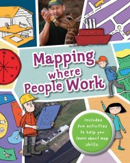
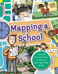
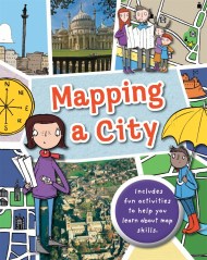
Full of hands-on activities to help you learn all about map skills whilst also learning about the features of a village. This book will show you what a bird’s eye map is by looking at aerial photos of villages; how village landmarks, such as churches and village greens can be shown as symbols; how to measure scale and distance on a walk around a village; what map plans are using a village shop and a farmers’ market, as examples; how compass points show you how to find directions around a stable yard; how to follow pathways, roads and bridleways on a country walk; how to use grid references by looking at a village green; what contour lines are by looking at a country valley; looking at landuse by showing farming land; and looking at transport maps showing routes between different villages.
Illustrations by Sarah Horne in an amusing and lively style are combined with photographs to really capture a child’s attention helping them to learn these important map skills.
Illustrations by Sarah Horne in an amusing and lively style are combined with photographs to really capture a child’s attention helping them to learn these important map skills.
Newsletter Signup
By clicking ‘Sign Up,’ I acknowledge that I have read and agree to Hachette Book Group’s Privacy Policy and Terms of Use
Reviews
An excellent series of books
Interactive, colourful and approaches the subject at a suitable level for KS1/2
Ideally suitable for Years 1-3, this book is clearly set out, with large, basic diagrams
Mapping is fascinating and very satisfying to do, so encourage it with this activity-packed book ... Very comprehensive and a great way to encourage children to observe what is all around


